
Begin a Worcester Neighbor Lookup
A useful block inquiry begins with the parcel, not with a guessed person. The public GIS viewer can place an address among nearby parcel lines. The City of Worcester property record then supplies an MBL, its local parcel identifier, the assessed owner, land use, valuation, and links to related city information. The Worcester South Registry of Deeds supplies recorded transfer parties and document details. These are different facts: a map line identifies a parcel, an assessor field identifies an assessed owner, and a deed documents legal transfer. None establishes who presently lives there.
| Source | What It Shows About a Block | Access |
|---|---|---|
| GIS public viewer | Parcel location, adjacent parcel identifiers, and public map layers | Map browsing only; city maps are not legal boundary or title evidence. |
| Property records | MBL, situs address, assessed owner, land use, valuation, and linked card | Public search; assessed ownership does not prove occupancy. |
| Registry of Deeds | Recorded transfers, parties, book and page, document number, plans, and dates | Use Worcester South for most county towns; the North district serves its five named towns. |
| Certified abutter list | Names and addresses within a stated statutory or requested radius | Purpose and radius required; generally $20 with a ten-business-day estimate. |
| Worcester voter lookup | Matched voter address, ward, precinct, status, party, and election information | Individual last-name and date-of-birth lookup, not a public block roster. |
| Civic groups | Meeting information, local identity, and public contacts | Useful community context, not a membership or resident list. |
Use each source for the narrow question it answers. The property result may offer a mailing address that differs from the property address, and city ownership updates may take four to six weeks after recording. The assessor can also retain the prior January 1 owner for the tax cycle. For a North-district address, land-record research routes to Fitchburg rather than Worcester South. Those routing and timing details matter before anyone assumes a mismatch means a move. They also keep the facts about neighbors tied to their source.
Worcester Block Records Compared
Official Worcester sources and commercial personal-data categories answer different questions. The official sources identify a parcel, a recorded property event, or an individual voter match under defined rules. Commercial tools can combine data from many sources, but their results may be stale, incomplete, or unclear about the original record. A direct check with the city, Registry, or other custodian is the sound way to verify a fact that matters.
| Record category | Best use for a Worcester block | Important limit |
|---|---|---|
| Official parcel and deed records | Confirm a parcel identifier, assessed-owner record, or recorded transfer | Owner, title party, and current resident are not interchangeable. |
| Certified abutter product | Obtain a defined administrative radius for the purpose stated on the form | It is not a general contact directory. |
| Official voter match | Confirm the details returned for one matching registrant | Central-registry names and addresses are restricted by Massachusetts law. |
| Commercial personal-data category | Provide a possible lead for personal research | Check any result against the original custodian and do not treat it as proof. |
That contrast is especially important on a block. An informal GIS browse is a map-research method. A certified abutter list is an administrative product with a stated radius and purpose. They are not substitutes, even when the parcels on the screen look close together. Neither process creates a general roster of neighbors.
Note: Keep the map, property, civic, and person facts in separate notes so one type of record is not mistaken for another.
Map a Worcester Neighbor Block
The city describes its GIS viewer as a public mapping resource, with layers that include streets, wards, precincts, zoning, police, and other city context. It does not support a claimed one-click radius tool in the reviewed material. Treat it as a selected-parcel and adjacent-parcel workflow. When a boundary question requires legal evidence, obtain the proper plan or certified source rather than relying on a screen view.
- Open the Worcester property records search with the target street address and copy the MBL from the matching result.
- Use the Worcester GIS public viewer to locate that parcel, then note the MBLs immediately beside and across from it.
- Open each neighboring parcel's property result separately. Record the visible address, MBL, assessed-owner field, map or access date, and relevant public layer without converting that field into an occupancy claim.
- When a property transfer must be understood, check the correct Registry district for the recorded document and preserve the book, page, document number, and date.
The public GIS image below comes from the city’s Neighborhood Response Team page, which connects map context with open neighborhood meetings.
The map is a starting point for civic context. It does not identify residents or replace parcel-by-parcel verification. For a whole named street rather than the immediate block, use the Worcester County streets reference.
Worcester Neighbor Radius Requests
Use the city’s certified abutter-list form when the question is defined by an administrative radius, rather than trying to estimate the radius on a map. The form asks for requester name, address, phone, and email, plus the subject address, city, state, ZIP, MBL number, purpose, and requested radius. That information lets the city produce the specified record product instead of a casual collection of nearby names.
The form identifies Planning at 300 feet, Zoning at 300 feet, License Commission immediate abutters and 500 feet, Conservation at 100 feet, Historical Commission at 100 feet, and another stated distance or purpose. The certified list is generally $20 and has a typical ten-business-day estimate. Each radius has a legal or administrative purpose. It should not be requested or reused as a broad personal directory.
Where the need is an ownership confirmation rather than a radius list, the assessor FAQ offers an office or mail route for certified owner information at $1 per parcel inquiry. Deeds remain the source for legal title. The City Public Records Portal is a narrower fallback for a defined city record series that is not online, with the parcel or MBL, department, record type, date range, and preferred format stated clearly.
Worcester Neighbor Meetings and Contacts
Public neighborhood organizations can help explain how a block participates in civic life. They are not substitutes for property or person records. Worcester’s Neighborhood Response Team reports monthly meetings that are open to any member and identifies several neighborhood examples on its meeting map. The Worcester Square association provides a separate public civic contact. No public membership roster was located in the reviewed sources, so an association’s service area should never be turned into a list of named individuals.
| Public civic route | What is available | Contact or access |
|---|---|---|
| Worcester Police Neighborhood Response Team | Monthly meetings open to any member, a map, and neighborhood examples including Whittier Terrace, Quinsigamond Village, and Shrewsbury Street Neighborhood Association | Neighborhood Response Team, 508-799-8664 |
| Worcester Square Area Neighborhood Association | Public association-level history and civic contact information; established by local residents on June 4, 1978 | Worcester Square Area Neighborhood Association |
City charter materials also make neighborhood area-council annual reports, financial records, and rules available on request. That is a civic-transparency channel, not evidence that all neighborhoods maintain a searchable roster. A City Council district page may help orient a civic question, but it is not a personal-data database.
Worcester Neighbors at Worcester Square
The Worcester Square Area Neighborhood Association is a useful example of the difference between public community information and private household information. Its own account says local residents established it on June 4, 1978. That history adds context to the area without identifying a present resident, owner, or member. Public association pages are often strongest for meeting notices, civic priorities, and ways to participate.
The image below is from the association’s public home page. Its presence supports a civic contact route only, not a conclusion about who belongs to the organization or lives on a particular block.
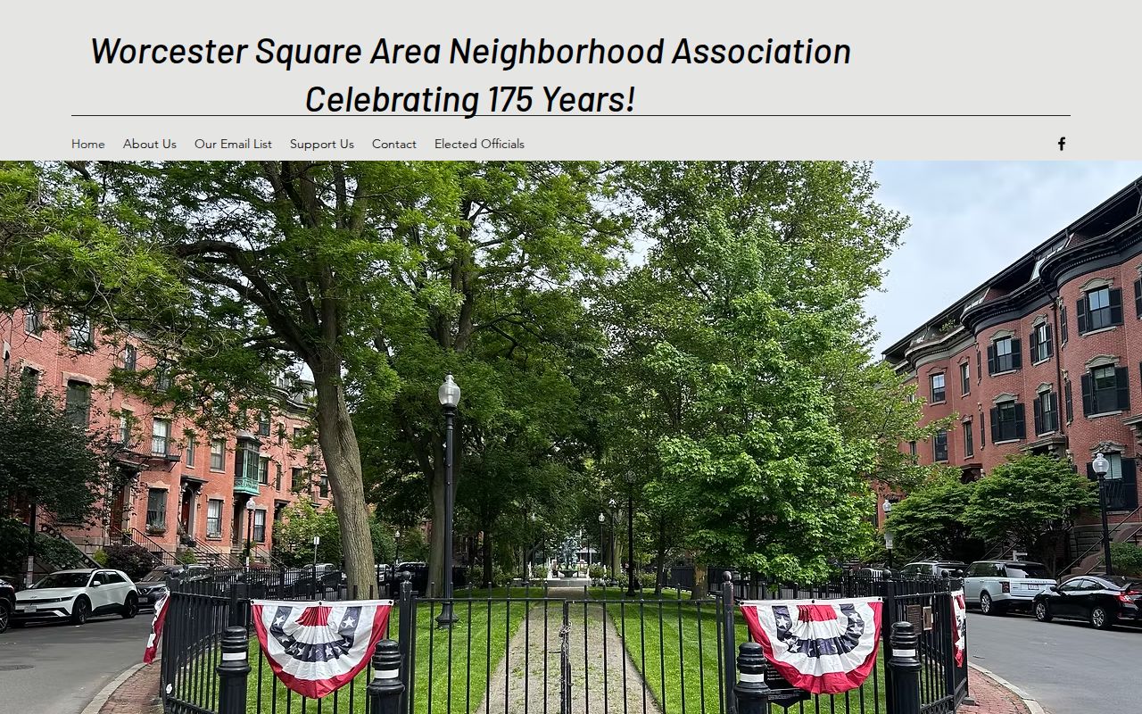
Pair public association information with the parcel process when the task concerns a property, and keep the association record in a separate column from ownership or voter information.
Note: A public contact point can identify a civic route without revealing a private membership list.
Worcester Voter Lookup Limits
The Worcester election page is an individual match tool, not a block-wide voter roll. It searches a last name and date of birth and can return a matching voter’s name, address, district, ward, precinct, status, party, next election date, and polling place. A recent registration can take two to three weeks to appear. A failed result does not establish that someone is unregistered or absent from Worcester.
Massachusetts controls central-registry names and addresses through M.G.L. c.51 §§47C, 55, 57, and 64. The state’s voter-registration system asks for information that confirms an individual match, including name, date of birth, and ZIP. That rule prevents a name-and-address roster from being treated as an ordinary public source for every person on a block. Use the voter route only for its defined, lawful purpose and preserve its limits in any notes about neighbors.
Lawful Worcester Neighbor Lookup
Public access has real limits. Massachusetts provides an Address Confidentiality Program for eligible survivors of domestic violence, sexual assault, and stalking. It supplies a substitute address and mail-forwarding route, and SJC Rule 1:20 permits a substitute address in public civil cases while the actual address is impounded. A public assessor, voter, or court result must never be used to defeat that protection. Vital, court, juvenile, CORI, health-license, and adoption records also have their own access rules.
Massachusetts Public Records Law, M.G.L. c.66 §10, is a route for defined records, not a way around a separate confidentiality statute, court rule, or safety program. Verify any material fact with the custodian and reduce sensitive details in personal notes. An owner result, map boundary, voter match, or civic contact each has a limited meaning.
Lawful personal use. Use these records for personal, lawful research and civic context. Never use them to stalk, harass, intimidate, harm, or expose a protected address.