
Worcester County Previous Residents Sources
Previous residents research in Worcester County works backward from a street address and a date. First identify the correct municipality, because city assessor and clerk records do not cover every town in the county. Next separate the deed trail from the household trail. A Registry record names legal parties to a transfer. A city directory, census, newspaper, obituary, probate file, or cemetery record can add household context. Each record is dated, and none by itself establishes every person who lived at an address.
| Source | Years It Covers | Where Held | What It Shows |
|---|---|---|---|
| Worcester South deed index | Registry history from 1731; post-1960 indexed; earlier scanned index books | Worcester South Registry of Deeds | Legal parties, instrument, book/page, document, date, plan, and property clues |
| Worcester city directories | 1829 and selected documented runs through 1945 | Worcester Historical Museum and WPL | Published household, address, occupation, business, spouse, and movement clues |
| WPL census resources | 1790-1930 in the local guide | Worcester Public Library | Dated household composition, age, birthplace, and occupation fields where available |
| Newspapers and clippings | Guide scope from 1704; clipping file about 1960-2015 | WPL and library databases | Move, death, family, civic, business, and address leads |
| Probate and maps | Probate index 1731-1897; historical map runs vary | WPL, court, and archive routes | Heirs, estate clues, building footprint, use, street context, and numbering changes |
Start with the deed chain when the question concerns legal ownership. Start with a directory or census year when the question is about a past household. Bring the two paths together only after their names, dates, and address forms support the same connection.
Worcester County Address Record Start
For an address inside Worcester city, the City of Worcester Property Records application accepts an MBL number, street name, or owner name. MBL is the city's parcel identifier; the official example format is 12-345-67890. A result can lead to a property card, assessed value, land use, map, permit history, tax history, and municipal-lien links. It is a strong starting point for an address timeline, but the assessed owner is not proof of present occupancy or legal title.
The city warns that the deed mailing address may differ from the situs address, meaning the property location. Ownership updates can take four to six weeks after a deed, and the prior January 1 assessed owner can remain displayed for the tax cycle. Those timing rules often explain a mismatch without inventing a move or a second property. Deeds, rather than the assessor, are the source for legal title.
For a record that is missing from the online card, use the city's public-records route with the MBL, department, record type, date range, and preferred electronic format. Use the Registry for title and the appropriate plan or certified source for boundaries. A map screen alone is not legal boundary evidence.
Tracing Worcester County Deed Records
The Worcester South Registry search instructions describe two practical eras. Records from January 1, 1960 forward are indexed by name, book and page, document number, street address and town, and recorded date. Earlier work relies on scanned grantor and grantee index books. Search and image access were described as free when researched, but the current office notice should be checked before relying on that access statement.
- Copy the address exactly, identify the municipality, and note the MBL from the assessor card when available.
- Find the newest deed by property or party name, then record the grantor, grantee, instrument, recording date, book/page, document number, and plan reference.
- Use the prior legal party as the next name in the Registry search. The grantee in one transfer may be the grantor in a later one.
- Repeat the sequence backward, keeping each instrument separate from any household source.
- Before 1960, locate the name in the grantor or grantee index, preserve the index-book page, and then open the scanned image through the unindexed property route.
- Grantor
- The person or entity transferring an interest in a recorded instrument.
- Grantee
- The person or entity receiving that interest. The name identifies a legal party, not automatically a resident.
- Chain of title
- A documented sequence of transfers connecting one recorded owner to an earlier one.
- Legal description
- The parcel wording in a deed or plan. It can remain useful when a street name or number changes.
Worcester County North District Route
Do not keep retrying Worcester South when the address is in Fitchburg, Ashburnham, Leominster, Lunenburg, or Westminster. The Massachusetts registry district statute places those five towns in the Worcester Northern district, served through Fitchburg. That geographic split is the first check when a plausible North-town parcel has no Worcester South result.
The Worcester North office is at Putnam Place, 166 Boulder Drive, Suite 202, Fitchburg, Massachusetts 01420, with 978-342-2132. The research did not locate an official online historical-index cutoff for that district. Confirm the North portal and office before stating a date boundary. For other Worcester County towns, the South district route is the documented deed starting point.
Worcester County Street Name Changes
Address continuity can be the hardest part of a previous residents search. The WPL Your Worcester Street guide covers about 2,296 streets and supplies local naming, developer, post-office, and continuity clues. A directory number that does not match a current map may reflect a renamed or reworked street instead of a different household.
Franklin Street is the clearest local example. WPL's memorial-squares material says it was formerly South Street and then Park Street, with the change occurring between 1912 and 1914. Search all three forms, compare dates, then check a directory, deed, and map. This is a Worcester County quirk that can turn an apparent gap into a usable address trail.
Worcester County Past Household Trail
Deeds identify the legal-transfer path. To investigate who lived here before, pair them with a printed household source. The Worcester County city directory collections provide the documented directory years and entry conventions; this address-focused trail uses those entries as one dated layer. A directory can show an address, occupation, business, spouse clue, or household mark. A census provides a separate snapshot of a household. Neither is a complete occupancy history.
- Choose the closest directory year to the transfer or address period and copy the entry exactly.
- Check the next available directory before and after that year for the same street, name, occupation, firm, or spouse clue.
- Pair the period with the relevant census year in WPL's 1790-1930 guide and record the date of each source.
- Use a newspaper, vital record, probate index, cemetery record, or church source to test a family link or departure.
- When the address changes, return to the street-history guide and Sanborn maps before concluding that the household moved.
Directory entries use h for home, r for residence, and b for an unrelated boarder. Those distinctions can help sort a past household, but they do not identify everyone at an address. Record the volume year and page so the printed wording can be checked again.
Worcester County House History Fallback
No official Worcester house-history guide was located. The practical local fallback combines the WPL research map, the street-history guide, Registry images, assessor card, permits, clipping file, probate indexes, Sanborn maps, and the historical directory collection. Name the source used at each step instead of calling the whole sequence a single database. That preserves the distinction between ownership, building context, and household evidence.
The Worcester Public Library local-history guide is useful when an online result stops short. It points to directories, probate, census, newspapers, maps, vital-record microfilm, local libraries, and archives. The third-floor genealogy computers require information from the reference desk, and local staff can verify a title or year that is not available remotely.
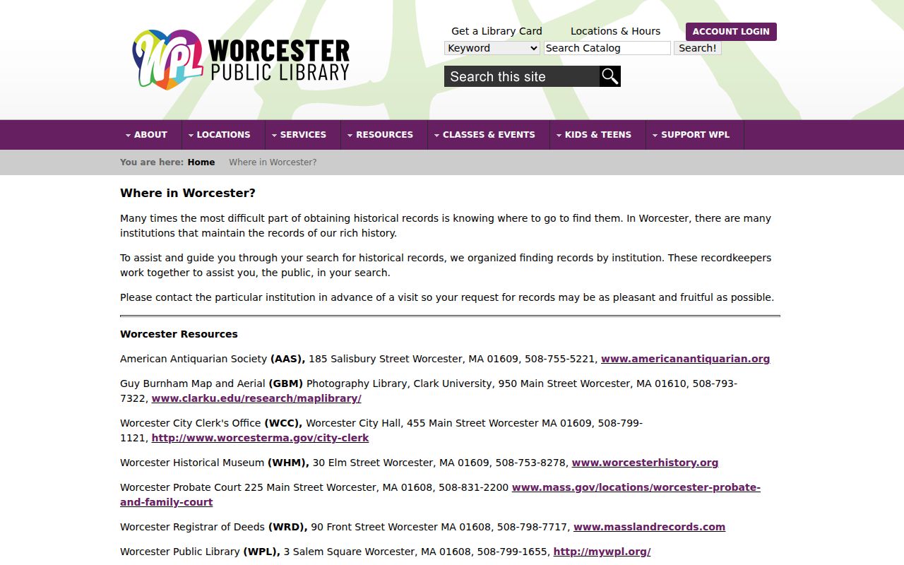
That staff-assisted route is most valuable for a past-residents question with a narrow date and uncertain street form. A focused request should give the name, address variant, approximate year, and source sought instead of asking for every record about a property.
Worcester County Directory Evidence
The Worcester Historical Museum digitized directory collection makes it possible to compare selected volumes without assuming a continuous annual run. Its years include 1829, 1842-43, most of 1844-1870, and selected later volumes through 1945. The Museum library also holds local histories, atlases, biographies, genealogies, town records, military material, and family, business, and industrial papers. Archival materials may need an appointment.
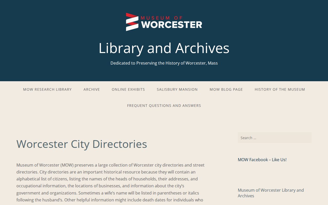
For past residents, the most useful detail is often not a name alone. An occupation, firm, spouse notation, post-office line, or nearby street section may help distinguish two people with the same name and find the next dated source.
Worcester County Previous Residents Limits
Obituaries, probate, cemetery, and map sources can close or test an address trail. WPL's clipping file covers roughly 1960 through 2015 with sparse earlier coverage, and NewsBank local articles are indexed from 1989. Worcester Probate Court indexes cover 1731 through 1897 in the WPL guide. Hope Cemetery and a vital certificate can document different events, but neither creates a complete past-residents list.
A useful note separates each conclusion: a deed establishes a legal transfer, a directory places a printed entry at an address, a census provides an enumeration-year household, and a map shows place context. This comparison avoids turning a chain of partial records into an unsupported claim about continuous residence.
Note: For a title, boundary, or certified-copy question, confirm the record with the office that holds it rather than relying on an index or historical publication.