
Worcester County ZIP Code Coverage
Postal codes are USPS delivery geography, not Worcester County or municipal boundaries. The postal area associated with an address can extend beyond a town line, use a neighboring place name, or exist only for post-office boxes. The first table is a representative view of the research index. It identifies common associations, not a legal boundary or an exhaustive address list. Verify any individual delivery address with USPS before using the code to choose a municipal office or record system.
| ZIP | Areas Covered | Post Office | Notes |
|---|---|---|---|
| 01005 | Barre postal area | Barre | Non-unique ZIP |
| 01420 | Fitchburg postal area | Fitchburg | Non-unique ZIP; Worcester North Registry town |
| 01501 | Auburn postal area | Auburn | Non-unique ZIP |
| 01545 | Shrewsbury postal area | Shrewsbury | Non-unique ZIP |
| 01561 | South Lancaster postal area | South Lancaster | PO-box ZIP associated with Lancaster |
| 01602 to 01610 | Worcester postal areas | Worcester | Each is non-unique |
| 01612 | Paxton postal area | Paxton | Non-unique ZIP associated with Paxton |
Scope of this Worcester County postal index. The researched postal index includes these common associations: 01005, 01010, 01031, 01068, 01074, 01082, 01083, 01092, 01094, 01331, 01366, and 01368; 01420, 01430, 01432, 01434, 01436, 01438, 01440, 01441, 01451, 01452, 01453, 01462, 01468, 01473, and 01475; 01501, 01503, 01504, 01505, 01506, 01507, 01510, 01515, 01516, 01518, 01519, 01520, 01522, 01523, 01524, 01527, 01529, 01531, 01532, 01534, 01535, 01536, 01537, 01540, 01541, 01542, 01543, 01545, 01550, 01560, 01561, 01562, 01564, 01566, 01568, 01569, 01570, 01571, 01581, 01583, 01585, 01588, and 01590; 01602 through 01612; and 01740, 01745, 01747, 01756, 01757, and 01772. This is a postal research scope, not an assertion that every code stays inside the county.
Worcester County ZIP Delivery Geography
The Massachusetts GIS five-digit ZIP layer is based on data from HERE aligned to a 2018 USPS source. Massachusetts warns that USPS does not maintain an official ZIP boundary map because ZIPs are assigned to delivery points, while mapped polygons are approximate and subject to revision. The state layer is useful for orientation and GIS work. It cannot settle whether a given street address is served by a particular ZIP.
For that reason, Worcester County research starts with the street-level result, not a map color. A postal label can name a nearby post office while the legal municipality is another town. The source table includes examples such as a Warren label associated with Hardwick for 01082, Fayville associated with Southborough for 01745, and Cherry Valley associated with Leicester for 01611. Those are routing cues. A clerk, assessor, or other municipal record should supply the legal town for a record request.
Note: Keep the postal label and legal municipality together in a search note when a ZIP reaches across a town or county edge.
Worcester County ZIP Code Groups
Several entries deserve extra care because their postal label does not operate like a normal single-town shorthand. South Barre 01074, Warren 01083, West Warren 01092, Wheelwright 01094, East Templeton 01438, and South Lancaster 01561 are listed as PO-box ZIPs in the researched table. Tyco 01441 is listed as a unique-organization ZIP associated with Westminster. These codes may be valid postal information while offering little help in selecting the correct local records custodian.
| Group | Research distinction |
|---|---|
| Worcester North Registry towns | 01430 Ashburnham, 01420 Fitchburg, 01453 Leominster, 01462 Lunenburg, and 01473 Westminster have the North Registry connection for land records. |
| Grafton labels | 01519 Grafton, 01536 North Grafton, and 01560 South Grafton are separate postal associations. |
| Leicester labels | 01524 Leicester, 01542 Rochdale, and 01611 Cherry Valley can point back to Leicester associations. |
| Worcester labels | 01602 through 01610 carry Worcester postal areas, but a complete address is still needed for delivery confirmation. |
Do not infer residence, municipal jurisdiction, or a complete group of people from a shared code. Postal grouping is only the first organizing detail for a specific address or an official tool that has an express ZIP field.
Verify a Worcester County ZIP Code
The address-level sequence is short but important. USPS is the final delivery verifier. Once it returns a ZIP, use that value only in a tool that accepts a ZIP and only for the narrow result that tool provides. Then confirm the municipal record owner, town, street, or parcel as needed. This approach avoids treating a broad map polygon or postal label as proof of a legal location.
- Enter the full street address in the USPS lookup. If no street address is available, begin with city and state and mark the result as less precise.
- Record whether the response is a street-address match, city and state match, PO box, or special route, along with the returned ZIP.
- Use the ZIP in an official search only when the form provides that filter, and keep the search result limited to the tool's stated purpose.
- Reconfirm the town, county, and street with the appropriate municipal record before making a records request or relying on the postal label.
The USPS lookup provides the address and city or state routes used for the final delivery check.
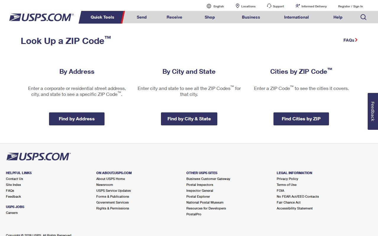
Use the complete address route whenever possible. It is more reliable than assigning an address from a city name or an approximate mapped area.
After a ZIP narrows the municipal question, the Worcester County streets records route handles the address-level property and parcel work.
Worcester County ZIP Code Tools
ZIP fields do not turn official searches into resident lists. Each tool has its own inputs and result limits. The state voter lookup requires a five-digit ZIP as part of a precise individual match. The Worcester local voter page does not offer a ZIP directory. The license and dog-license tools can filter in different ways, while USPS verifies delivery and MassGIS supports approximate map analysis.
| Tool | ZIP field and use |
|---|---|
| State voter lookup | Five-digit ZIP is required with first name, last name, full date of birth, and acknowledgment for an exact individual match. |
| Worcester voter lookup | Uses last name and date of birth; the returned address and precinct follow a match, but it is not a ZIP directory. |
| Occupational license search | Individual and Business tabs include city, state, and ZIP among the search fields. |
| Worcester dog-license database | ZIP can be combined with license year, dog name, gender, and primary breed. |
| USPS lookup | Uses a street address or city and state to verify the delivery ZIP. |
| MassGIS ZIP layer | Supports mapping and GIS analysis, not a USPS legal boundary decision. |
The Worcester dog-license search is one local example of a tool with a ZIP filter alongside specific license fields.
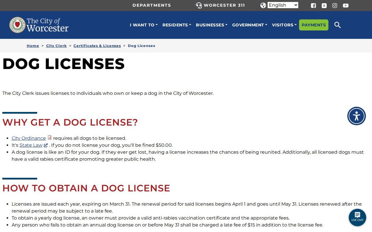
A ZIP filter limits the displayed license search. It does not establish who currently lives at every address in that postal area.
Worcester County 016 ZIP Areas
Worcester's 01602 through 01610 entries are all listed as non-unique ZIPs. They should be treated as delivery categories within the Worcester postal area, not as a substitute for an exact street address. The nearby research entries reinforce the same point: 01611 is Cherry Valley and associated with Leicester, while 01612 is associated with Paxton. A number that begins with 016 therefore does not by itself identify the legal municipality or county status for a particular address.
Use an address-level USPS result first, then match it to the applicable Worcester municipal record or another town's custodian. This is particularly important when a person has an old mailing address, a post-office box, or a record that uses a postal city name rather than the local government name.
Map Worcester County ZIP Areas Carefully
The MassGIS ZIP dataset offers a useful visual layer for comparing common postal areas. Its source and revision warning are part of the research result, not fine print to ignore. Use it to see an approximate pattern, then return to USPS and the municipal record for the exact delivery address and legal town. The distinction keeps postal geography from being mistaken for an official boundary line.
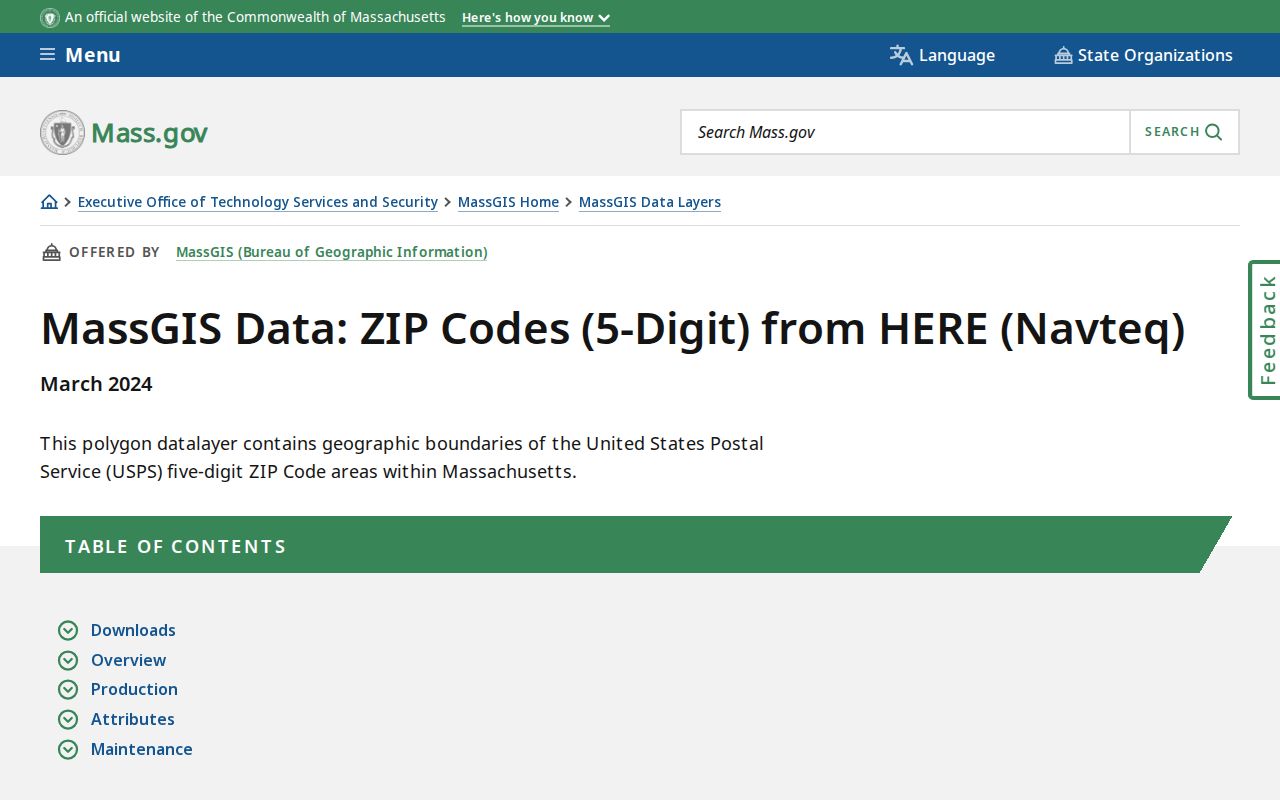
The state resource is best read as an approximate mapping aid. It does not replace USPS address verification or a town record for legal geography.
Worcester County ZIP Terms
Postal terms can look similar while serving different functions. Separating them helps avoid overreading a result from an address form or map. Census geography is particularly easy to confuse with delivery geography because both can be displayed as polygons. The Census calls its generalized statistical areas ZCTAs, and they are not USPS ZIP delivery codes.
- ZIP
- A USPS delivery code assigned to delivery points, not a municipal or county boundary.
- ZIP+4
- The five-digit ZIP plus four additional digits that refine delivery sorting for an address or delivery segment.
- PO-box ZIP
- A ZIP associated with post-office boxes rather than a normal street-delivery area.
- ZCTA
- A Census generalized statistical polygon that approximates ZIP geography but is not a USPS delivery code.
- Carrier route
- A postal delivery grouping used to organize stops and mail movement, not a legal neighborhood boundary.
Worcester County ZIP Boundaries
Postal geography and city limits will sometimes disagree. A ZIP can use a neighboring post-office name, cross a county or city boundary, or identify a PO-box or special-use service. That mismatch is not an error until USPS, the municipal record, and the address itself are compared. When the question involves a Worcester County record, retain both the postal label and the legal municipality in the research note.
A postal index cannot supply a complete list of people in an area. Massachusetts voter information is limited to individual matching, and privacy rules protect central-registry and confidential address information. Use each official portal for its stated record purpose, then ask the custodian about access, corrections, or a defined request.
Postal limit. A Worcester County ZIP is a delivery clue, not proof of a person's current residence, legal municipality, or eligibility for a restricted record.